Available features
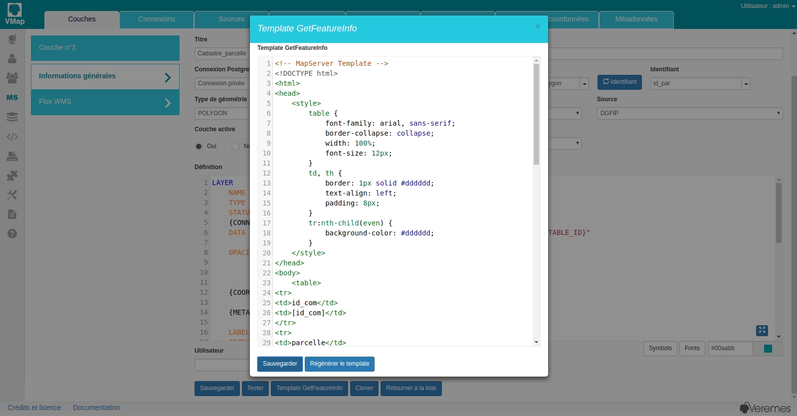
Publish queryable layers using Mapserver and WMS GetFeatureInfo
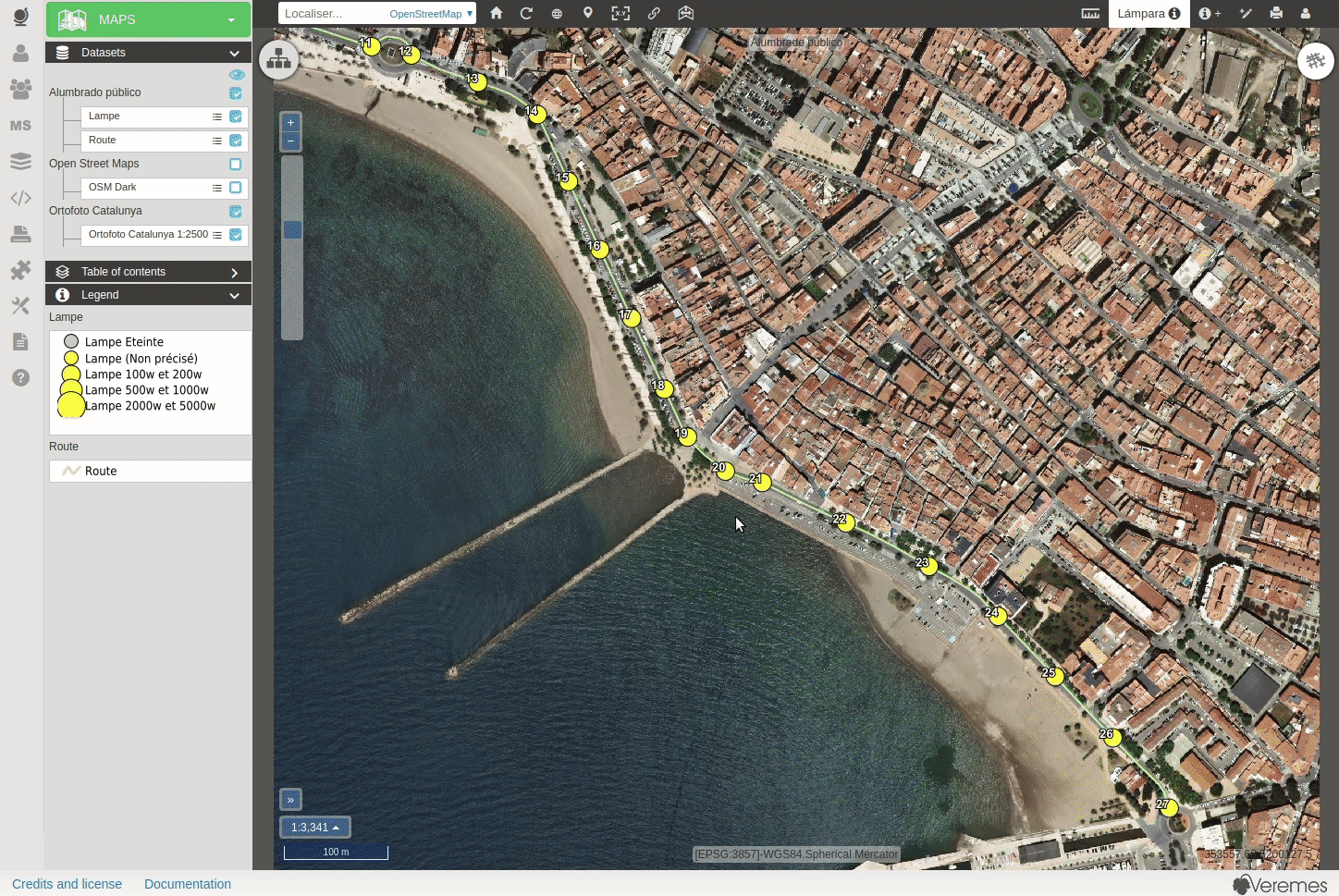
The map view allows you to click on a item and display the GetFeatureInfo result
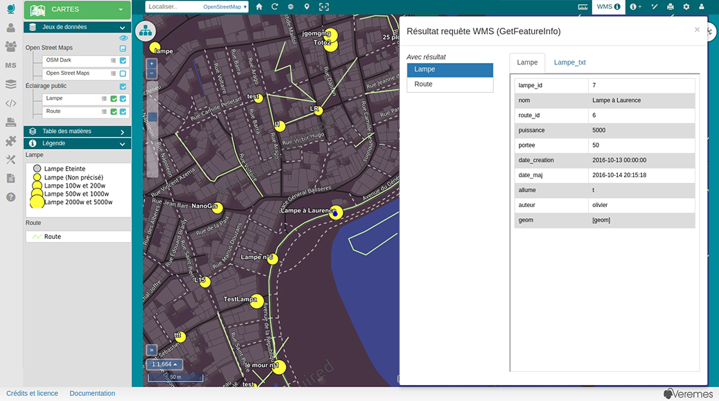
Use the Mapserver mode to create WMS layers with an HTML query templates
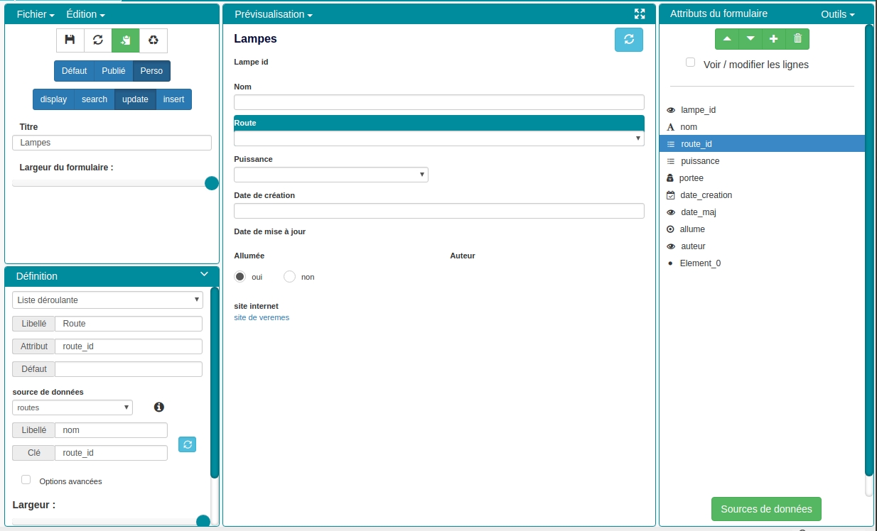
Publish queryable layers using vMap business objects
WMS GetFeatureInfo requests are limited, to go further use the vMap business objects that allows you to edit and insert data using full customizable forms.
A powerful graphic interface will help you create complex forms with more than 30 different types of fields, external datasources etc...
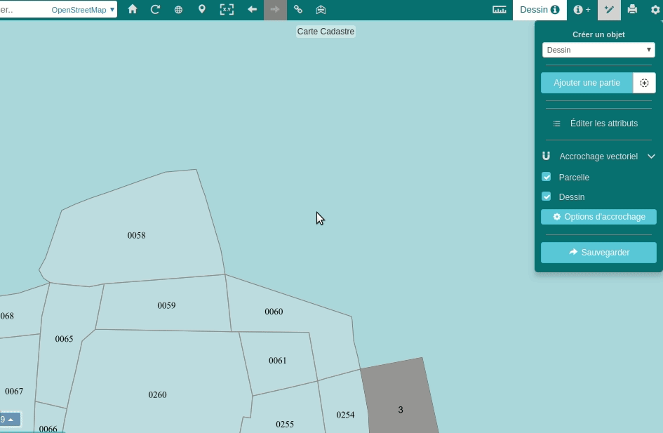
Snapping features when editing geometries
Geographic data quality is essential, to avoid superpositions you can activate the snapping while creating or editing features.
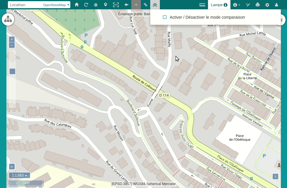
Compare maps
You can use the compare button to compare two different maps and make PDF prints of them.
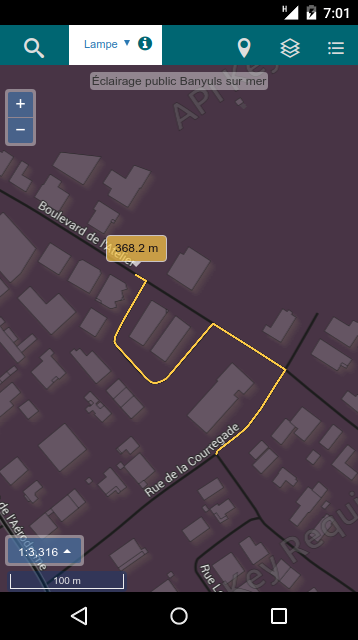
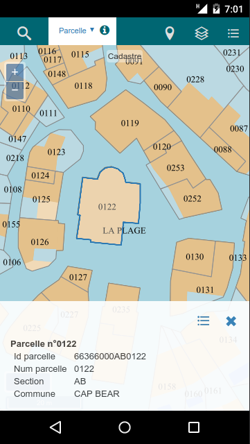
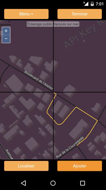
Mobile mode
vMap is also available for mobile devices using a simple browser
You will be able to display, insert and edit data in the same way you do using your computer. A GPS connection is also available to draw features using your current position.
 |
 |
 |
|---|---|---|
| Display data | Query layers | Draw features |